Gey – Bel
- 7KM, mostly rocky trails and a short stretch along dirt roads
- 314m elevation gain ↗, 277m elevation loss ↘
- altitudes between 435 and 661 meters above sea level
Our Day on the Trail
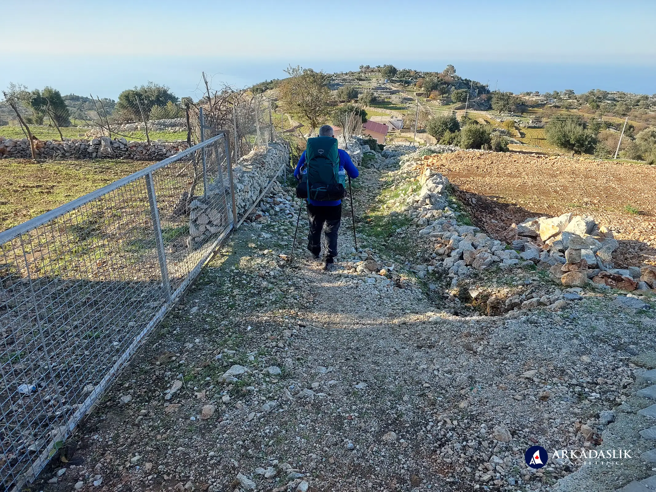
Day 5 on the Lycian Trail was short distance-wise, but challenging terrain-wise. Lots of loose rock, prickly holly bushes, steep hills - and a rock slide! Our morning start was quite relaxed and we enjoyed walking past farms along the dirt road. Even the hills didn't faze us - we're getting stronger!
Late in the morning, the terrain changed to narrow goat paths over loose rock, and we began heading downhill. Our pace slowed, but we managed to hit the midway point of today's trail within a reasonable time.
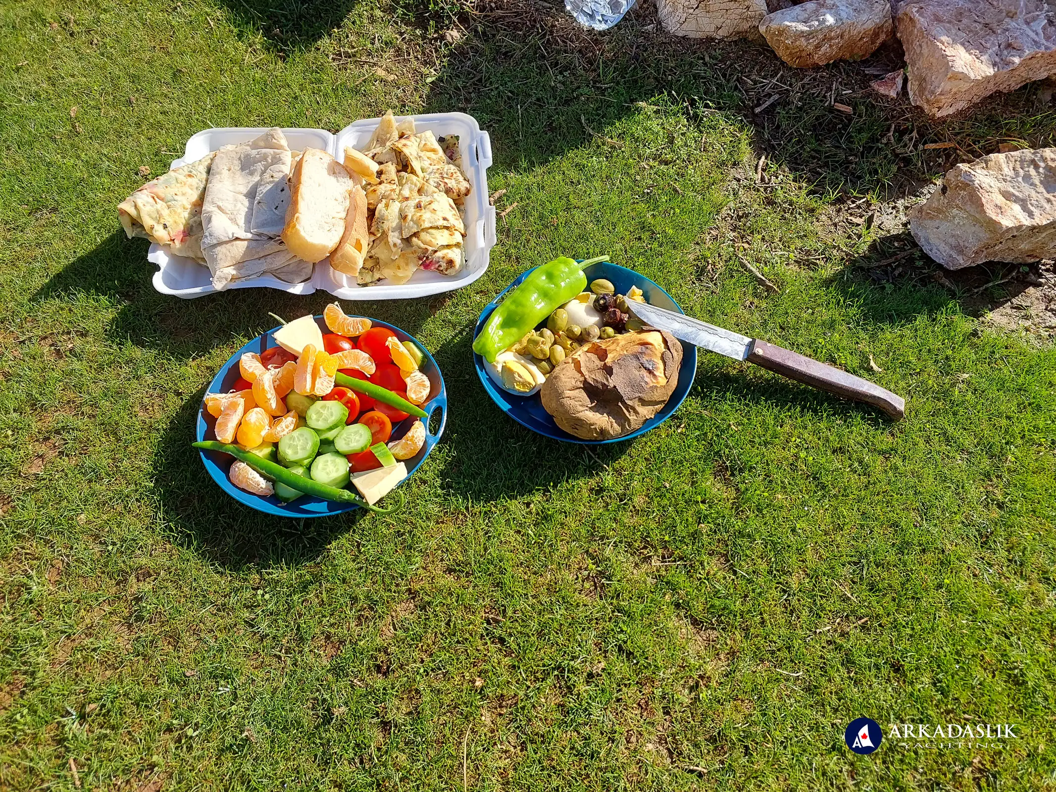
After lunch in a beautiful spot overlooking the sea, we returned to the trail and immediately found that a recent rock slide had destroyed parts of the path. It took us nearly half an hour to navigate 300 meters. Stones tumbled down the mountain as we made our way across the rubble. It was scary, but we made it safely!
Unfortunately, we had a minor mishap at this point. After crossing the rock slide area, we stopped for a water break - and Oktay discovered he'd left his phone at the lunch spot. He had to cross the dangerous section of path twice more to retrieve it. He was slow and cautious, and returned unscathed. But it's a stretch of path we never want to try again.
The rest of today's journey took.us uphill and down (and uphill again) through heavy forest. We were happy to arrive in the tiny village of Bel for the night.
Photos of Today's Hike
Click on any image to expand.
Day 5 on the Lycian Trail

Day 5 on the Lycian Trail

Day 5 on the Lycian Trail

Day 5 on the Lycian Trail

Day 5 on the Lycian Trail
I have no idea what this is, but we passed it on our way out of Gey

Day 5 on the Lycian Trail

Day 5 on the Lycian Trail

Day 5 on the Lycian Trail

Day 5 on the Lycian Trail

Day 5 on the Lycian Trail

Day 5 on the Lycian Trail

Day 5 on the Lycian Trail

Day 5 on the Lycian Trail

Day 5 on the Lycian Trail

Day 5 on the Lycian Trail

Day 5 on the Lycian Trail

Day 5 on the Lycian Trail

Day 5 on the Lycian Trail

Day 5 on the Lycian Trail
Aptly named, the views were incredible!

Day 5 on the Lycian Trail

Day 5 on the Lycian Trail

Day 5 on the Lycian Trail

Day 5 on the Lycian Trail

Day 5 on the Lycian Trail

Day 5 on the Lycian Trail

Day 5 on the Lycian Trail

Day 5 on the Lycian Trail

Day 5 on the Lycian Trail

Day 5 on the Lycian Trail

Day 5 on the Lycian Trail

Day 5 on the Lycian Trail

Day 5 on the Lycian Trail

Day 5 on the Lycian Trail

Day 5 on the Lycian Trail
This olive tree is over a thousand years old!

Day 5 on the Lycian Trail

Day 5 on the Lycian Trail
Our lunch spot

Day 5 on the Lycian Trail

Day 5 on the Lycian Trail
Lunch with a view

Day 5 on the Lycian Trail

Day 5 on the Lycian Trail

Day 5 on the Lycian Trail

Day 5 on the Lycian Trail

Day 5 on the Lycian Trail
Evidence of rock slides on the opposite slope.

Day 5 on the Lycian Trail

Day 5 on the Lycian Trail

Day 5 on the Lycian Trail

Day 5 on the Lycian Trail
Advertising on the trail.

Day 5 on the Lycian Trail

Day 5 on the Lycian Trail
Our first view of Bel.

Day 5 on the Lycian Trail
Our first view of Bel

Day 5 on the Lycian Trail
Arriving at Bel

Day 5 on the Lycian Trail
The Bel welcoming committee

Day 5 on the Lycian Trail
Bel is not a particular scenic village, but the pansyon was clean and had lots of hot water for showering and laundry.

Highlights Video


