Sarıbelen – Gökçeören
- 13KM on mountain and forest paths
- 436m of elevation gain ↗, 367m of elevation loss ↘
- altitudes between 773 and 986 meters above sea level
Our Day on the Trail
Day 12 of our Lycian Trail adventure started cold and frosty, and there was a layer of ice on the puddles, but has been one of our favourite treks so far!
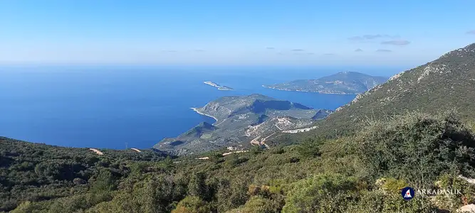
The journey started with a steep climb, but we enjoyed several long stretches of flat walking through the day, and absolutely spectacular scenery.
We met a few other hikers along the trail today - a 32-year old Russian guy who flew past us while making a real-time video of his adventure, and a large group of ladies visiting Kaş who were doing a day-hike in the opposite direction.
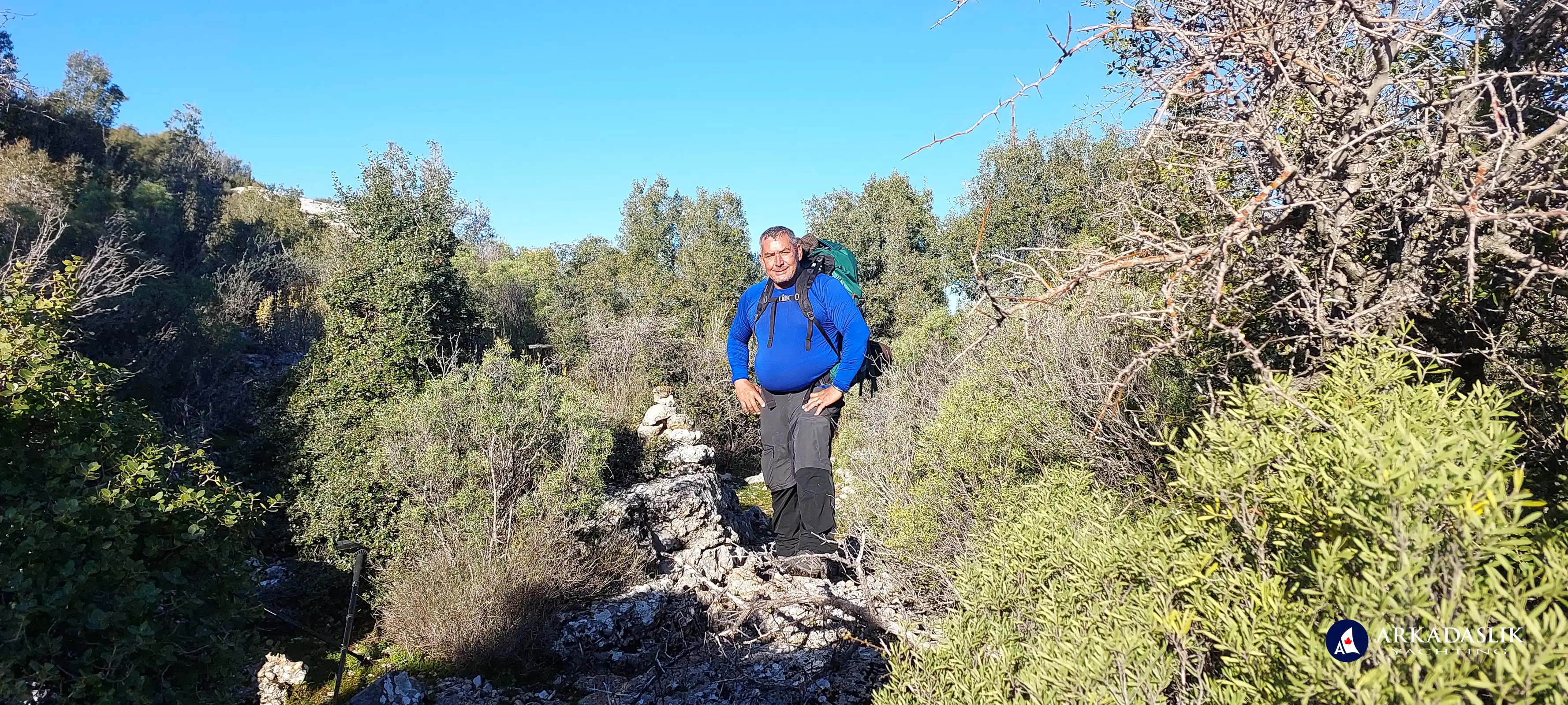
For those who don't know, the Lycian Trail is marked with red and white paint on rocks along the path. Additionally, hikers build stone towers to help others find the way. (The painted markers fade, or sometimes get relocated, so the towers are a good back-up.)
Still no blisters, major injuries or tears to report along the route. Our supply of trail mix is holding up well, and Oktay continues to amaze with the picnic lunches. The temperatures are much cooler than at sea level, but we're still enjoying fabulous weather.
Photos of Today's Hike
Click on any image to expand.
Day 12 on the Lycian Trail
Saying goodbye to our shepherd host before hitting the Trail

Day 12 on the Lycian Trail

Day 12 on the Lycian Trail

Day 12 on the Lycian Trail

Day 12 on the Lycian Trail

Day 12 on the Lycian Trail

Day 12 on the Lycian Trail

Day 12 on the Lycian Trail

Day 12 on the Lycian Trail

Day 12 on the Lycian Trail

Day 12 on the Lycian Trail

Day 12 on the Lycian Trail

Day 12 on the Lycian Trail

Day 12 on the Lycian Trail

Day 12 on the Lycian Trail

Day 12 on the Lycian Trail

Day 12 on the Lycian Trail

Day 12 on the Lycian Trail

Day 12 on the Lycian Trail

Day 12 on the Lycian Trail

Day 12 on the Lycian Trail

Day 12 on the Lycian Trail

Day 12 on the Lycian Trail

Day 12 on the Lycian Trail

Day 12 on the Lycian Trail

Day 12 on the Lycian Trail

Day 12 on the Lycian Trail

Day 12 on the Lycian Trail
It was cold enough for the puddles to ice over!

Day 12 on the Lycian Trail

Day 12 on the Lycian Trail

Day 12 on the Lycian Trail

Day 12 on the Lycian Trail

Day 12 on the Lycian Trail

Day 12 on the Lycian Trail

Day 12 on the Lycian Trail

Day 12 on the Lycian Trail

Day 12 on the Lycian Trail

Day 12 on the Lycian Trail

Day 12 on the Lycian Trail
Lunch

Day 12 on the Lycian Trail
Lunch

Day 12 on the Lycian Trail

Day 12 on the Lycian Trail

Day 12 on the Lycian Trail

Day 12 on the Lycian Trail
Tombs above Gökçeoren

Day 12 on the Lycian Trail
Tombs above Gökçeoren

Day 12 on the Lycian Trail
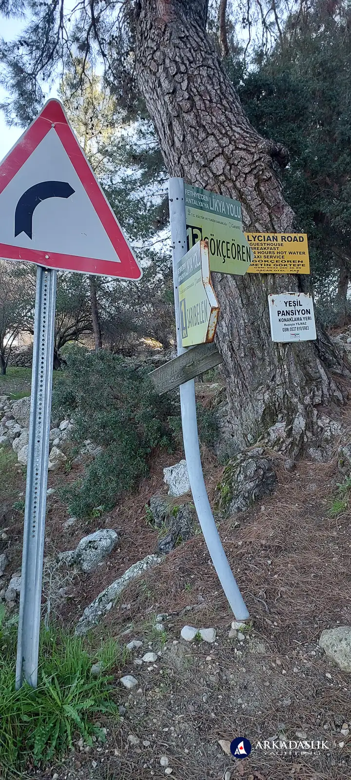
Markers on the Lycian Trail are red and white stripes painted on stones along the trail, and they can sometimes be easy to miss. Fortunately, we spotted this one marking the curve in the highway ;-]

Day 12 on the Lycian Trail
Entering Gökçeoren

Day 12 on the Lycian Trail

Highlights Video


