From the Archives
Hiking the Lycian Trail – Day 14
Çukurbağ – Kaş (Antephellos)
- 6KM, the first half on flat grass path, the second half on a rocky mountain path
- 100m elevation gain ↗, 536m elevation loss ↘
- altitudes between 0 and 487 meters above sea level
Our Day on the Trail
HAPPY NEW YEAR!
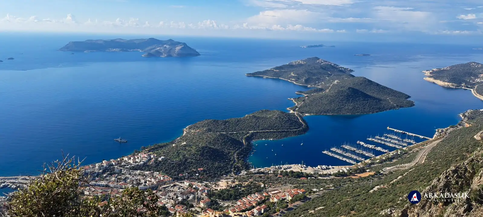
Today's descent into Kaş was gorgeous, but tricky. I think we've earned a few days off from the trail.
We're settled into our favourite weird hotel (who puts glass walls on a bathroom???), all of our clothes are at the laundry, and we've got enough snacks and food to last us until 2023.
Day 14 on the Lycian Trail was relatively short, but technically challenging.
We left our lovely guest house in Çukurbağ around 10:30 and completed the first 3km in less than an hour, but it took nearly 3 hours to complete the next 3km. The difference? The terrain.
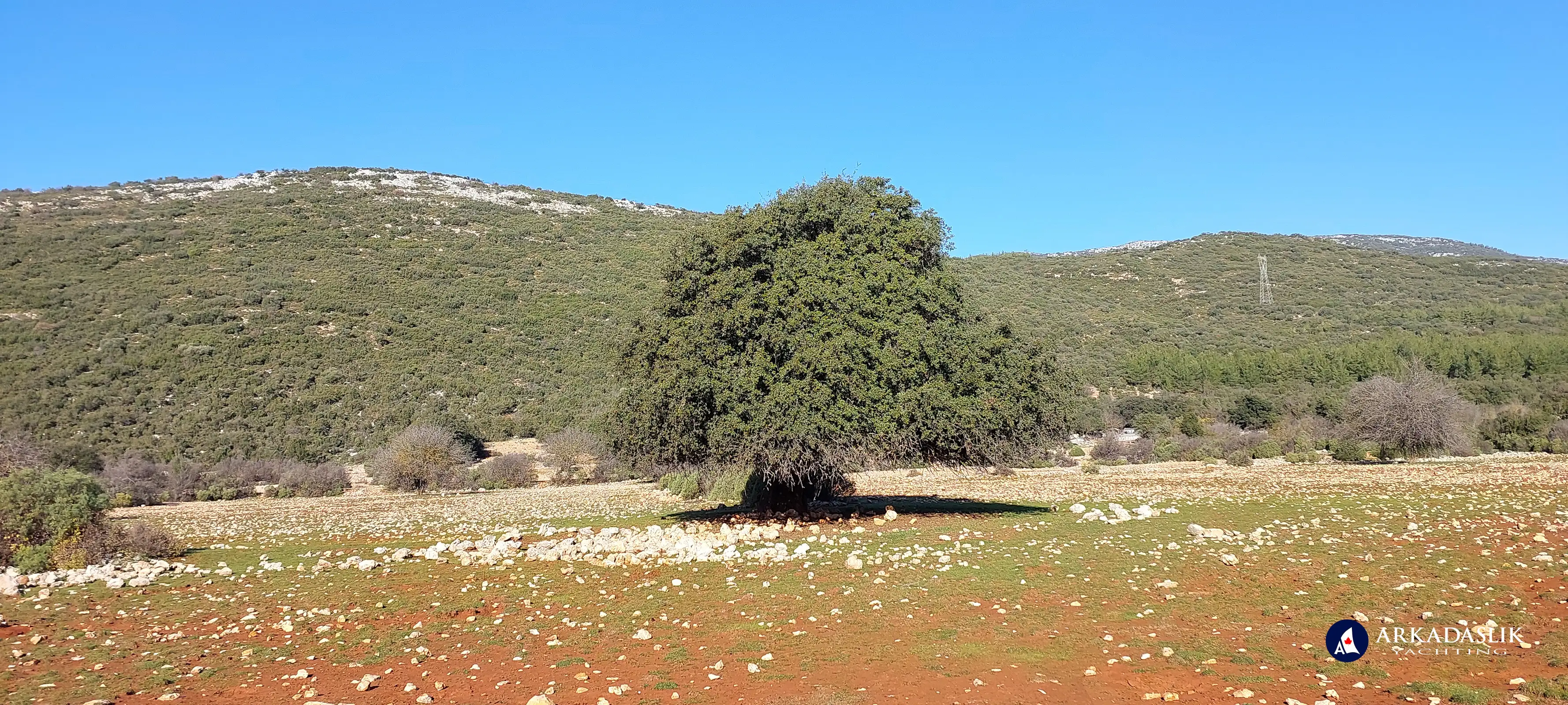
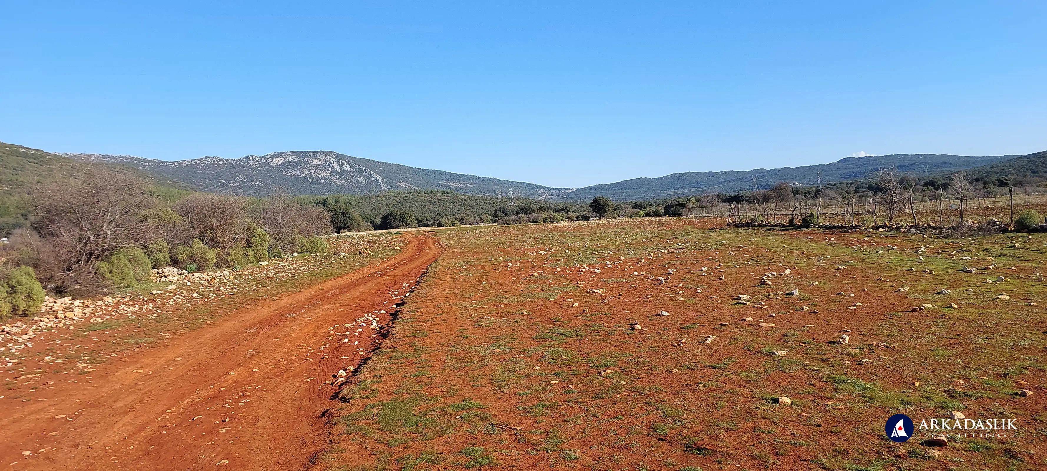
The first half of today's route was everyone's dream hiking terrain. Scenic, flat, grassy, no puddles, no loose rocks to trip on, no bushes to snag your clothes. We trucked along and clocked a peak speed of 7km/hr. on this stretch.
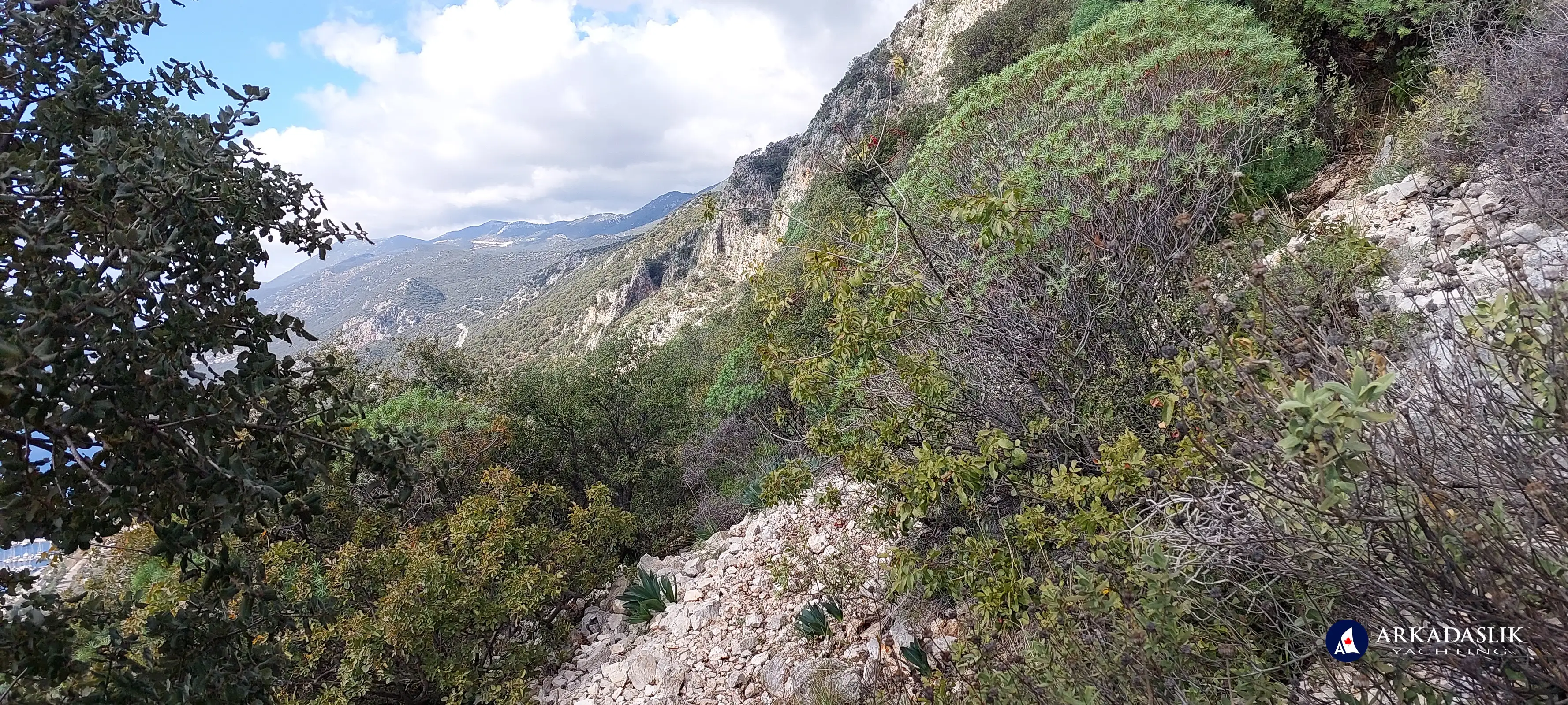
The second half of the hike featured a 510m meter descent on a narrow path of loose rock, edged with trees and bushes. We navigated the trail carefully and slowly, and eventually arrived at sea level safe and sound.
When we got to Kaş town centre, we rewarded ourselves with ice-cream before heading to our favourite (somewhat quirky) hotel, where we're going to settle in for a few days of rest before continuing our adventure.
(I forgot to turn the tracking app off when we arrived at the hotel, so the video includes some extra "footage" while we checked into the hotel, then went in search of snacks and an ATM.)
We didn't explore Kaş or take many pictures during this visit. If you'd like to learn more about the charming coastal town, please visit the "Destinations: Kaş" page of our website.
Photos of Today's Hike
Click on any image to expand.


