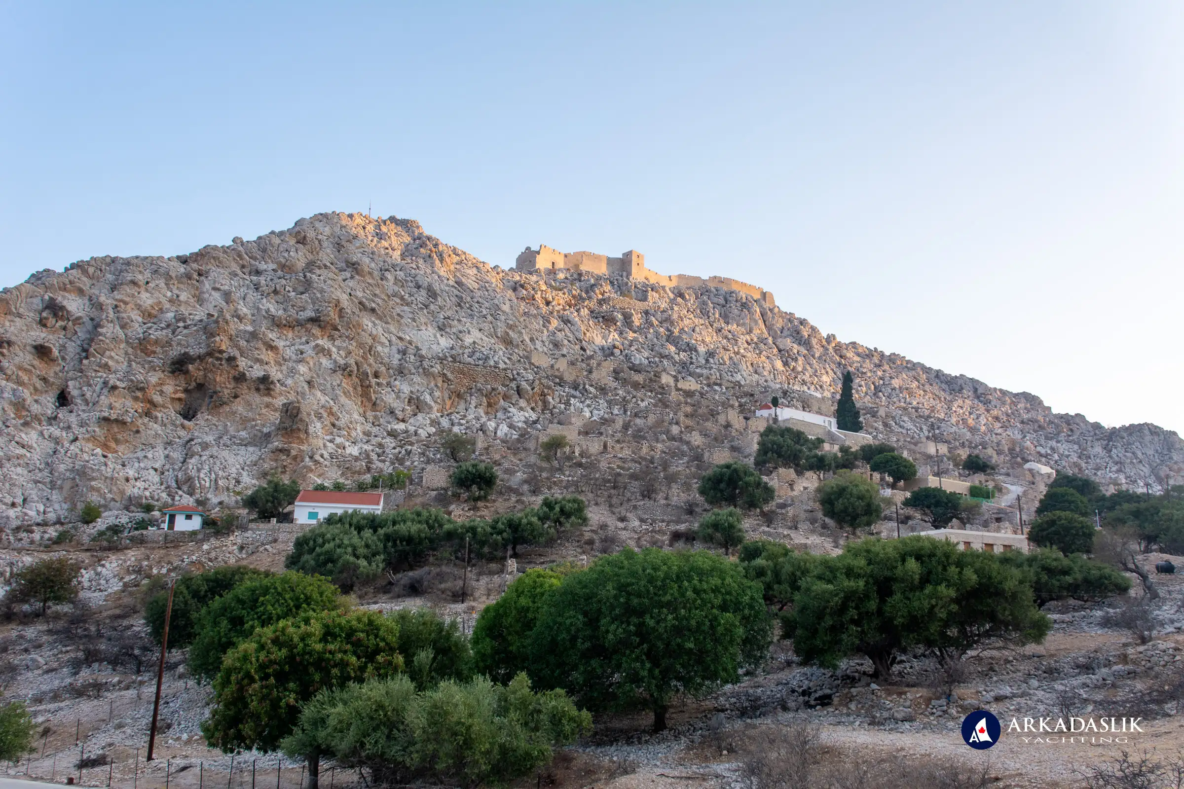
A few years ago, we had an extended stay on Halki, Greece, due to strong winds, which allowed us to fully explore this serene gem in the Dodecanese. Since then, we’ve made several return visits, discovering even more of the island’s allure. Halki’s peaceful atmosphere, rich history, and stunning landscapes make it a must-visit destination for anyone seeking a quiet retreat.
Halki is the smallest inhabited island in the Dodecanese, but it packs a punch when it comes to charm. Below are some fascinating facts and trivia about this tranquil Greek island:
Fascinating Facts About Halki:
- Emborio Town: The main town, Emborio, is home to approximately 300 residents, swelling to more during the summer months as tourists flock here for a peaceful escape.
- Historical Significance: Once a prosperous copper mining center (from the 10th century BC to the 5th century BC), Halki was home to over 3,000 people. Today, its primary industries are tourism and fishing.
- No Freshwater Source: There are no natural freshwater sources on the island, so residents rely on collected rainwater, desalination, and tanker deliveries from nearby Rhodes.
- Car-Free Island: Halki is notably car-free, and transportation is limited to a small bus, a minivan, and a taxi, making it an ideal destination for those seeking peace and simplicity.
- Historical Sites: The medieval Kastro castle, built by the Knights of St. John, overlooks Emborio. The settlement of Chorio, located just below the castle, once served as a refuge during pirate raids.
- Churches and Monasteries: Despite its small size (28 KM2), Halki is home to over 35 religious sites, including the St. Nicholas Church with the tallest bell tower in the Dodecanese.
- Sustainability Initiative: According to the Greek City Times (March 3, 2021), the island has been proposed as the next Greek island to achieve a zero-carbon footprint, showcasing its commitment to environmental sustainability.
Halki is frequently called “the island of peace and friendship,” a reputation that feels true upon visiting. Its hospitality, calm atmosphere, and scenic beauty offer a welcome escape from the hustle and bustle of everyday life.
Images of Halki: Peaceful Landscapes and Timeless Charm
Explore the captivating beauty of Halki through this carefully curated gallery. From the charming streets of Emborio to the ruins of ancient castles, each image captures the tranquility and history of this unique Greek island.
Click on any image to expand.


Halki, Greece, is an idyllic getaway for anyone looking to unwind in a place of natural beauty and historical intrigue. With no airport and limited transportation, it remains an untouched retreat where time seems to stand still. Whether you're exploring its historical ruins, relaxing on its quiet beaches, or experiencing its warm hospitality, Halki promises a serene escape from the everyday. A visit here will leave you with lasting memories of a peaceful island haven.
Ready to Experience Halki’s Peaceful Beauty?
If you’re yearning for a serene escape to an untouched Greek island, Halki should be at the top of your list. With its charming town, historical sites, and quiet atmosphere, it’s the perfect destination for those seeking peace and natural beauty.
Contact us today to book your bespoke yacht charter to Halki and other incredible destinations in the Dodecanese. Let us show you the hidden treasures of Greece, where every island tells a story.


