Exploring the Bays at Ağa Limanı
Ağa Limanı is located in the beautiful Gulf of Göcek, just a mile north of Kurtoğlu Burnu. The anchorage consists of two charming bays — Büyük ("Big") and Küçük ("Small"). Facing east, the bay offers stunning views of the rising sun each morning, with the impressive Mount Bagadağ providing a picturesque backdrop throughout the day. This serene spot is perfect for boaters on longer journeys to Rhodes or along Turkey’s Carian coast.
The Crystal-Clear Waters of Ağa Limanı
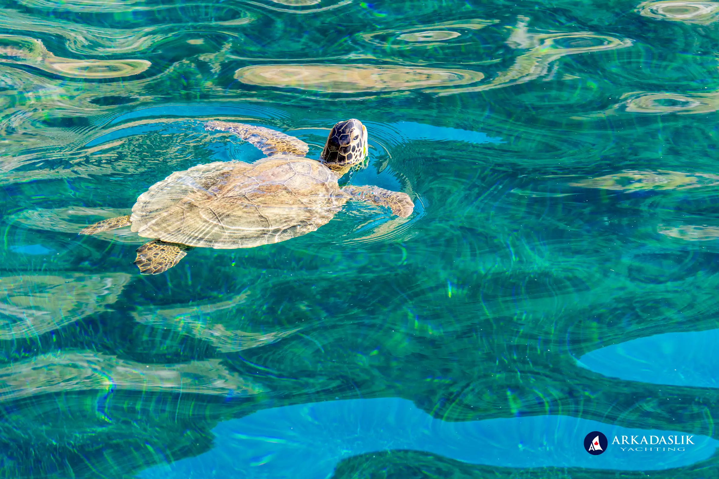
Ağa Limanı is known for its crystal-clear waters, some of the cleanest in Turkey, thanks to a freshwater spring feeding into the bay. The cooler water temperature offers a refreshing escape on warm days and is perfect for turtle spotting.
A Bee-Friendly Bay
While bees are attracted to the surrounding pine trees, particularly at sunrise and sunset, they aren't a constant nuisance. Burning coffee grounds can help keep them away. If you have severe allergies, please inform Captain Oktay beforehand, and he’ll select an alternative anchorage for the night.
Ağa Limanı: A Hiker’s Paradise
For trekking enthusiasts, Ağa Limanı offers a short but rewarding trail. The ascent, about 100 meters above sea level, is steep but manageable with sturdy shoes or hiking boots. The panoramic view of the bay and surrounding landscape makes the climb worthwhile.
Discovering Ancient Lydai
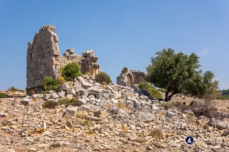
At the summit, you’ll find the ruins of Lydai, a once-thriving border city of the Carian and Lycian regions. The ancient site includes:
- Tombs and mausoleums from the 2nd century
- A small theatre and an agora
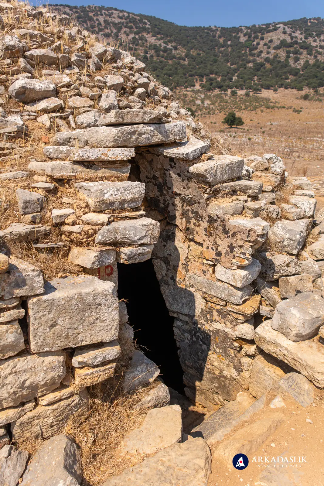
- Water cisterns still used by local farms
Despite its historical significance, much about Lydai remains a mystery due to its remote location and limited archaeological study.
For the More Adventurous: Longer Hikes from Ağa Limanı
For those seeking solitude and a deeper connection to nature, the trail to Hamam Bay offers a rewarding experience. It’s a longer hike, but the peaceful journey through the landscape makes the destination even more fulfilling.
A Visual Journey Through Ağa Limanı
Browse our photo gallery to see the turquoise waters, ancient ruins of Lydai, and scenic hiking trails that make Ağa Limanı one of our favorite spots.
Click on any image to expand.


Plan Your Visit to Ağa Limanı
Ağa Limanı is more than just an ideal stop for boaters; it’s a peaceful getaway for nature lovers, hikers, and history buffs. Whether you’re soaking in the view of Mount Bagadağ, exploring ancient ruins, or relaxing with a drink in hand, Ağa Limanı offers something for everyone.
If you’d like to experience it firsthand, join us on a gulet cruise through the Gulf of Göcek. Contact us now to plan your next adventure!


